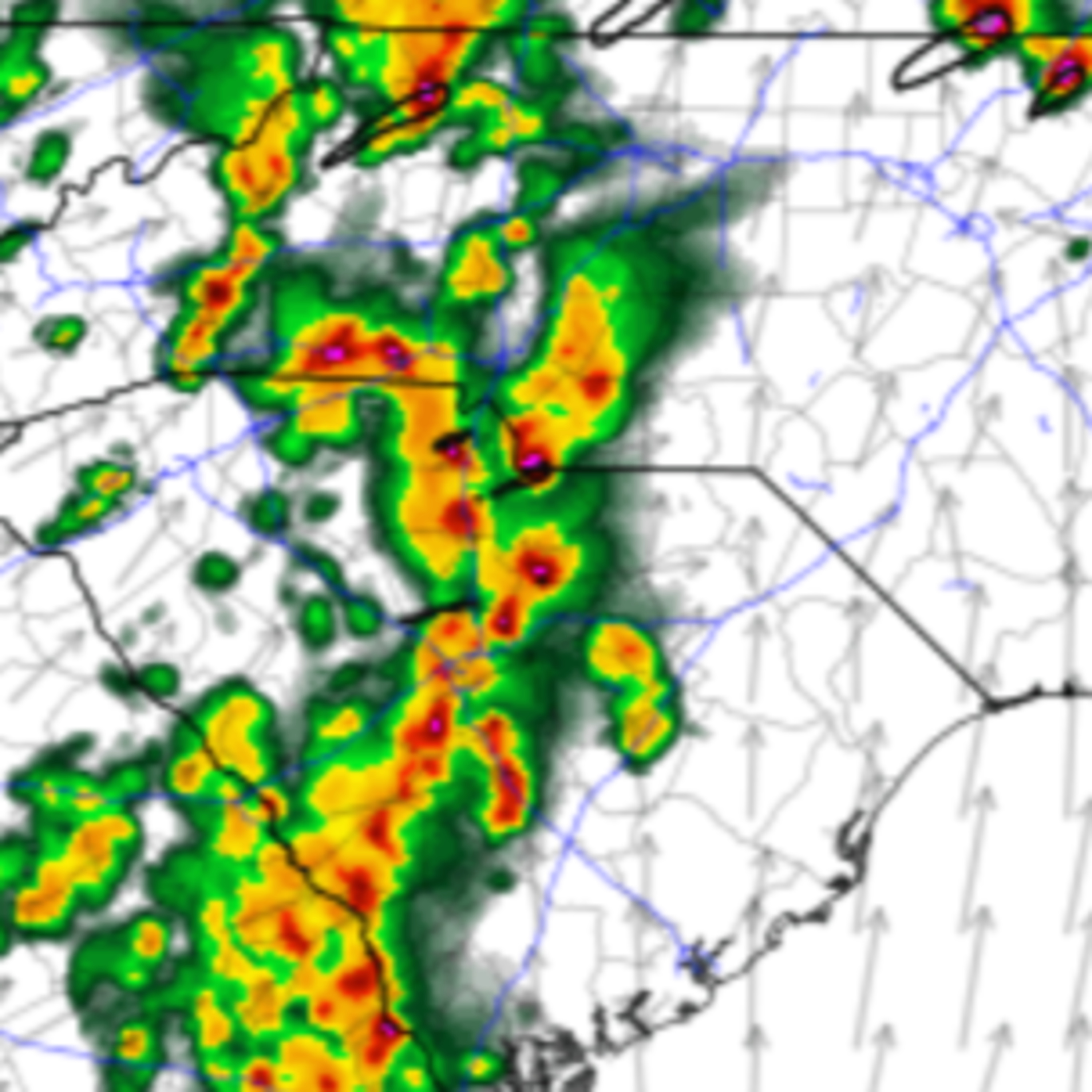
Yet another round of severe thunderstorms is on the way for Friday afternoon and night. This event could be worse than the other severe storms this week.
A cold front moving into the near-summery air mass that we have in place across North Carolina and South Carolina will be the trigger for the storms. As a result, the National Weather SErvice's Storm Prediction Center (SPC) has put most of the state at a level 2 of 5 'slight' risk for severe thunderstorms Friday.
All modes of severe weather are possible including tornadoes, large hail, damaging winds, and isolated flash flooding.
Join the Carolina Weather Group as we break down the threats and timing across the Carolinas.
LEAVE A TIP: https://streamelements.com/carolinawxgroup/tip
SUBSCRIBE TO OUR PODCAST: https://anchor.fm/carolinaweather
SUPPORT US ON PATREON: https://patreon.com/carolinaweathergroup
VISIT OUR WEBSITE: https://carolinaweathergroup.com
The Carolina Weather Group operates a weekly talk show of the same name. Broadcasting each week from the Carolinas, the show is dedicated to covering weather, science, technology, and more with newsmakers from the field of atmospheric science. With co-hosts across both North Carolina and South Carolina, the show may closely feature both NC weather and SC weather, but the topics are universally enjoyable for any weather fan. Join us as we talk about weather, environment, the atmosphere, space travel, and all the technology that makes it possible.