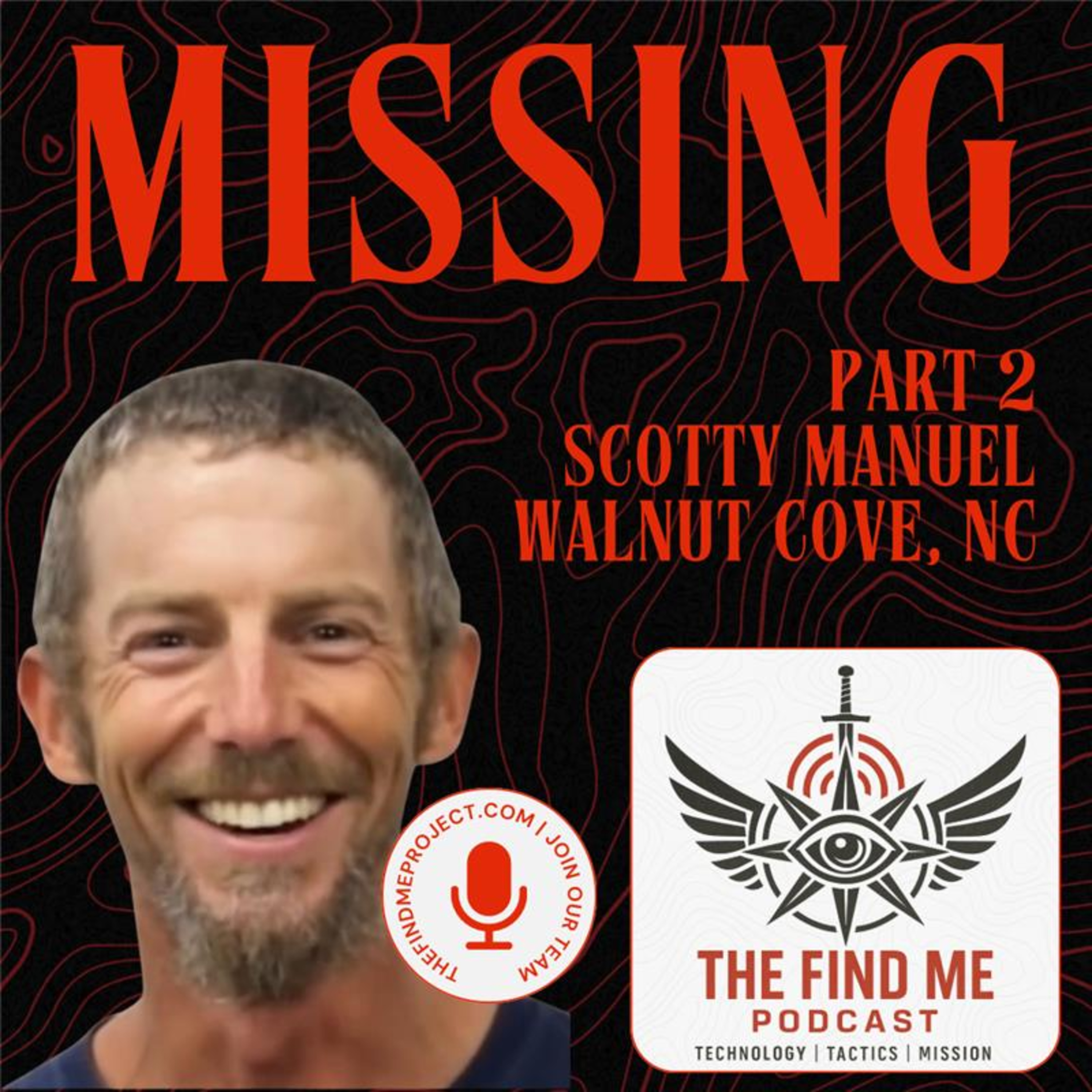
In Part Two of our ongoing investigation, we take you into the field. Based on intelligence gathered through behavioral profiling, geo-analysis, and pattern-of-life modeling, we identified a high-probability search area and began hands-on search operations.
This episode documents our efforts on the ground, including underwater searches, drone reconnaissance, and LiDAR scanning, to better understand the terrain, water systems, and environmental challenges present where Scotty disappeared.
By seeing the landscape firsthand, we gain critical context. Things like how difficult the area is to access, how visibility changes under vegetation, and how someone on foot could become isolated without leaving obvious traces. These findings continue to shape the direction of the search and inform where attention must be focused next.
As of the publishing of this episode, Scotty remains missing.
If you have information, no matter how small, you can submit a tip anonymously at TheFindMeProject.com. Every detail matters, and your information could help bring answers to Scotty’s family.