The world’s oldest surviving map was etched on a clay tablet in Mesopotamia around the 6th century BCE. Known as the Babylonian Map of the World or Imago Mundi, it shows the city of Babylon at the centre, the Euphrates River flowing through it, and the known lands encircled by a “Bitter River” - the ocean. Beyond that ring sit small triangles labelled as distant, perhaps mythical, regions.
It wasn’t so much a navigation aid, yet rather a worldview. Babylon’s placement at the centre said as much about belief as geography. The map reflected how people made sense of their world - what was known, what was unknown, and who belonged where.
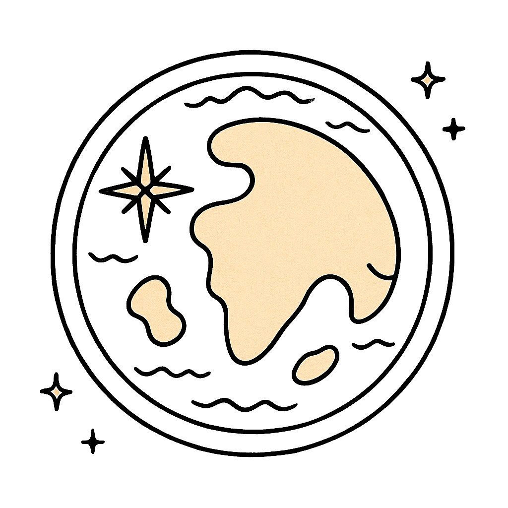
Terra Incognita
Terra Incognita - Latin for “unknown land” - appeared on early European maps to mark uncharted territories. It signified both danger and discovery: areas where knowledge ended and where possibility began. We all can see leaders facing equivalent frontiers - the limits of what they know, see, and believe possible.
Over time, maps evolved with our understanding.
We each get to choose what we see - our worldview, and the scope of our Terra Incognita. Heading into 2026, there’s value in recognising the limits and how they limit, delay, or reduce our wider vision for commercial success or positive-sum impact.