Photo by Dejan Zakic on Unsplash
The EndGame is a reader-supported publication. To receive new posts and support my work, consider becoming a free or paid subscriber.
Special notice to subscribers: Watch your inbox on Monday for an exciting announcement.
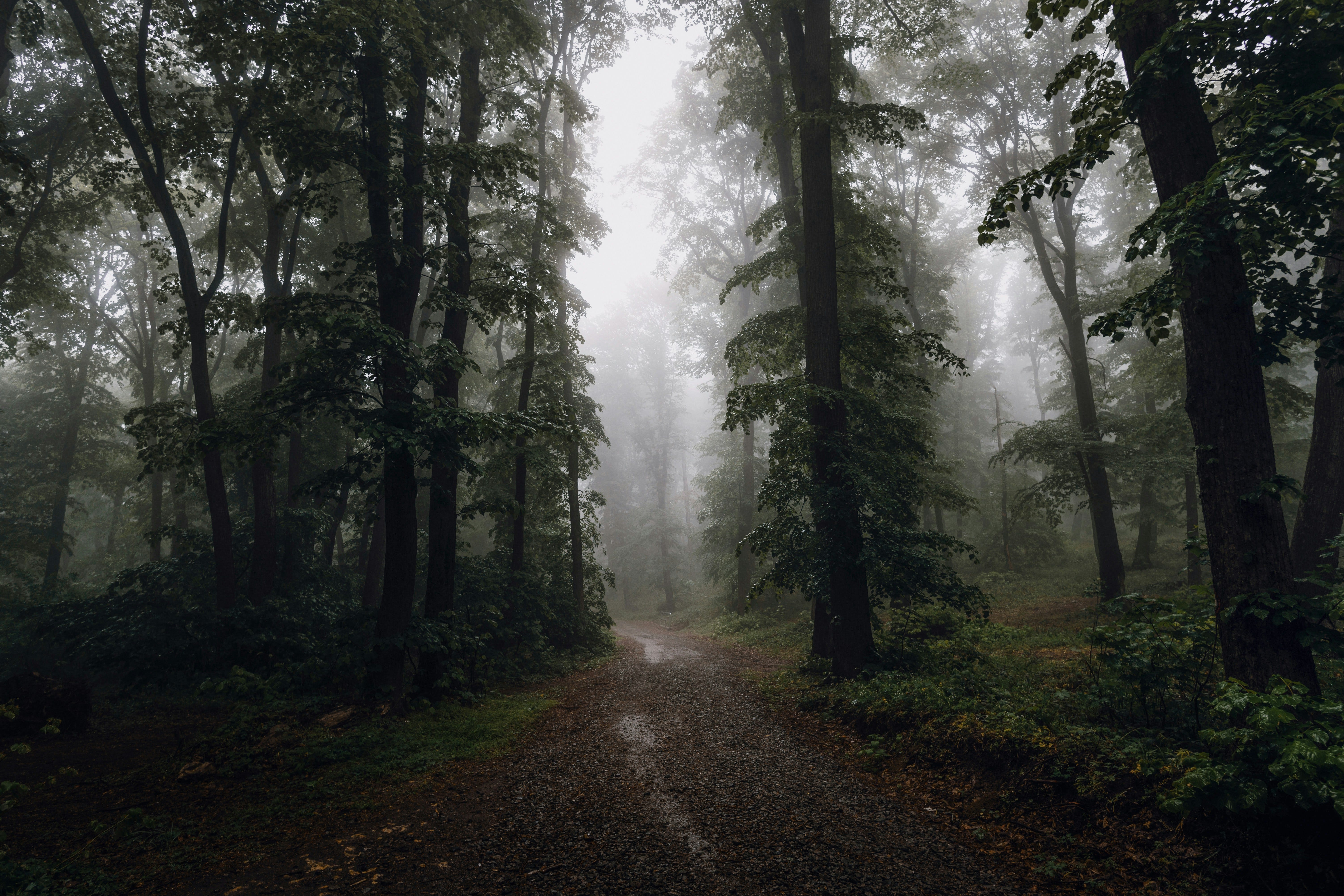
My wife likes to take long walks on Saturday afternoons. Lately she has had her fill of neighborhood walks and prefers to do her walking in nature. On a recent weekend, a day of mercifully moderate temperatures for August, she left it for me to choose a destination. After some online searching, I suggested a nearby state park, and in particular an “easy trail,” a 2.3-mile loop that ended in a waterfall. She thought that sounded perfect.
We drove to the park entrance, paid our modest fee, and asked the ranger for a map showing the Cascade Falls Trail. She handed me a pink flyer containing a crude sketch of the park. For our purposes, it was useless. The ranger pointed up the road. “Take a left ahead, go two miles, and you’ll see parking.” she said.
We followed her directions, found the parking, parked, and happily observed a marker to indicate the Cascade Falls trailhead. We cheerfully began our easy hike.
The waterfall came into view quickly, after only about 200 yards – not at the end of the trail as advertised. To continue on the trail, we had to scamper around and above the waterfall over major boulders, picking up the trail about 20 feet higher than we started.
Treading carefully over tree roots, we gradually ascended another 300 feet. Then the trail leveled off and began a slow, winding descent. We kept walking, following the dark blue trail markers.
After two hours, my wife said aloud what I was thinking: “It seems like we’ve been walking a lot farther than two miles.”
Let me pause the story here to share some perspective:
No Daniel Boone
If I had to rate my navigational skills on a scale of 1 to 10, I would give myself a 2. Other family members who have lived through my wrong turns on highways and in unfamiliar cities would be inclined to rate me in negative numbers.
This is not a new problem. On elementary school aptitude tests, I could barely cross the 50th percentile when asked to distinguish left from right. By junior high school, I compensated during square dance lessons by marking my palms with an L or R, respectively. (Yes, square dancing. Thank you, Henry Ford, for inflicting this waste of time on millions of public-school students in a vain effort to discourage us from taking up impure dances like the jitterbug and the Charleston.) In short, nobody ever mistook me for Daniel Boone.
But while my family is well aware of my navigational limitations, what they do not realize is that my wife’s abilities are only marginally better. They are better than mine, but that is a low bar.
Back to the story. A few minutes after the two-hour mark, we see the end of the trail ahead. We emerge from the forest. But we have not made a loop, obviously, because this is not where we started. We are looking at a paved two-lane road with automobile traffic. Clearly, we made a wrong turn somewhere and now we are lost. I imagine us trying to contact park rangers to rescue us – maybe by helicopter – only we can’t tell them where we are!
But there is hope for the navigationally challenged, and its name is GPS. My companion whips out her smartphone, goes to her handy Google Maps app, and tries to locate our current position in space and time. Incredibly, she has cellular service. After several failed attempts, she learns that we are about 41 minutes from our starting point. She plugs in the original trailhead as our destination, and we return to the trail to find our way back. At a crossroads, we turn left to go back the way we came.
App to the Rescue
But after 15 minutes, she checks the GPS again and sees that we are actually moving away from the Cascades Falls Trail. We are now 46 minutes out. We turn around and follow the dancing arrow back, looking for any signs of a turnoff we might have missed. The arrow leads us right back to the two-lane blacktop and the crossroads.
What now? “Let’s try going to the right this time,” I say. Process of elimination - it’s the only direction we haven’t been yet. So we start down the right fork, and in 150 feet we come upon a big-as-life sign that reads “Cascade Falls Trail.”
Reassured, we hike on and in just 40 minutes, we are back at the falls, the boulders, and the parking lot. We have established some sort of overland record by completing the easy, 2.3-mile loop in only three hours and 13,000 steps – by my calculation, more than six miles.
“You realize,” my wife says, “that two years ago neither of us could have done this.” This is true. Her Pilates classes and my weight and balance training have made us more able to live through the errors of our wayfinding.
“Maybe next time we should prepare a bit more,” she adds. Because yes, I realize, taking nature walks is a major escalation over walking city blocks.
On our next hike, we are well prepared with trekking poles, bug spray, water bottle, and a fabulous app called AltTrails, which offers detailed maps (and GPS tracking). All at a bargain price compared to my alternative plan, which was to hire a sherpa.
The EndGame is a reader-supported publication. To receive new posts and support my work, consider becoming a free or paid subscriber.