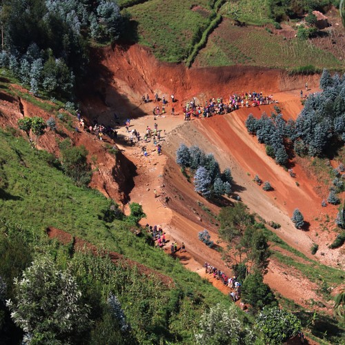
In many countries, some landslide-prone areas are known. But often, communities seem to be caught unaware when these landslides hit.
How do you ensure policymakers pay special attention to the future landslide in their locations? Michael Ngugi, a geographic information system (GIS) expert from the Regional Centre for Mapping of Resources for Development (RCMRD) based here in Nairobi, developed a landslide monitoring tool that tells where a landslide is likely to happen. The economic losses emanating from agricultural, industrial, infrastructure losses, and human impacts, among other impacts. Capturing these details is key to ensure that policymakers monitors and have enough information to rebuild after a disaster.