In the 19th Century, the sand on Meols beach was covered by settlements, stretching into the Irish Sea. Strong tides and extreme weather washed these away into the sea, and the coastline retreated 500 metres.
Evidence of a submerged forest could be seen up until the early 80s, and artefacts discovered here suggest that 'Dove Point' was a trading route, enabled by 'Hoyle Lake', a channel of water off the coast-line.
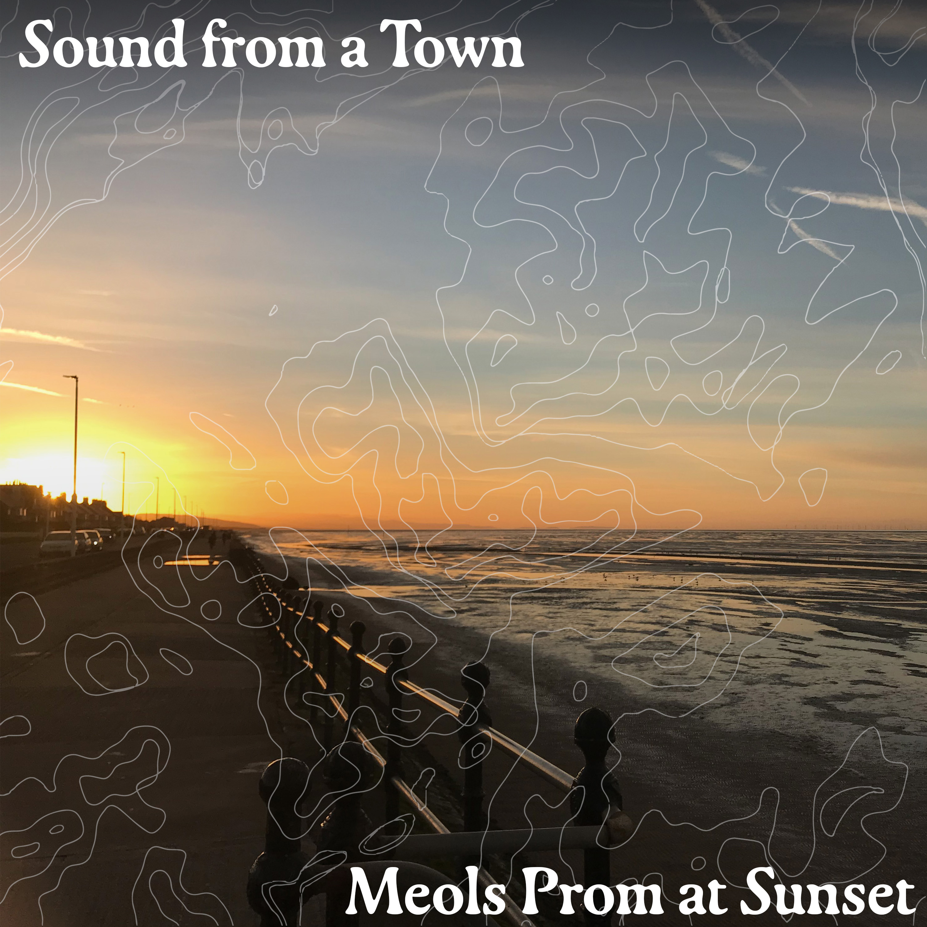
Nowadays, the site is home to a promenade which forms part of the Wirral Coastal Walk, and an outlet through which the Meols Water Treatment Works discharges into the Irish Sea.
A straight field recording with minimal editing. Recorded on January 22, 2022.
Location: 53.4070112, -3.1579262