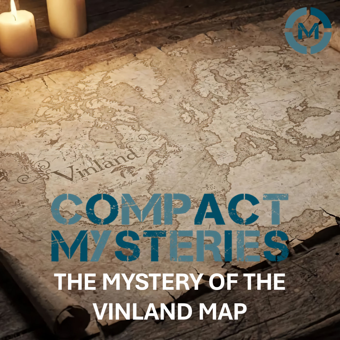
In 1957, a map surfaced that threatened to rewrite the history of exploration.
The Vinland Map appeared to show part of North America nearly 500 years before Columbus, suggesting that Norse explorers had mapped the western Atlantic world in the 15th century. If genuine, it would be one of the most important cartographic discoveries ever made.
In this episode of Compact Mysteries, we investigate the strange emergence of the Vinland Map, its connection to Viking exploration, and the fierce debate over its authenticity. We examine the scientific tests, the ink analysis, the provenance gaps, and why decades of expert scrutiny failed to deliver a simple verdict.
Was the Vinland Map a genuine medieval document confirming Norse knowledge of the Americas? Or a sophisticated modern forgery that fooled the academic world for years?
🎧 Listen now as we explore one of history's most controversial maps.
Visit our website: Compact Mysteries
Find us on our social media sites:
#vinlandmap #vikinghistory #historicalmystery #medievalmaps #losthistory #archaeologymystery #compactmysteries