After a long day teaching at Ohlone College in Fremont, Rose-Margaret Itua often spends 40 minutes just waiting to get on the highway. It’s only a mile – a straight shot down Mission Boulevard to 680. But in the four years Itua has been teaching at the college, this short stretch has become maddeningly slow.
“We could be in one spot for about two minutes – no movement at all,” says Itua from behind the wheel. “And then we start crawling again.”
A few years ago, Itua would sometimes use Google Maps to direct her through less busy streets. Now, she says there’s no point.
“I guess I'm not the only person doing that,” Itua says, laughing. “Other people are doing the same thing and so everyone is getting stuck on the alternate route too.”
“Now I don't bother,” says Itua. “I just stay here.”
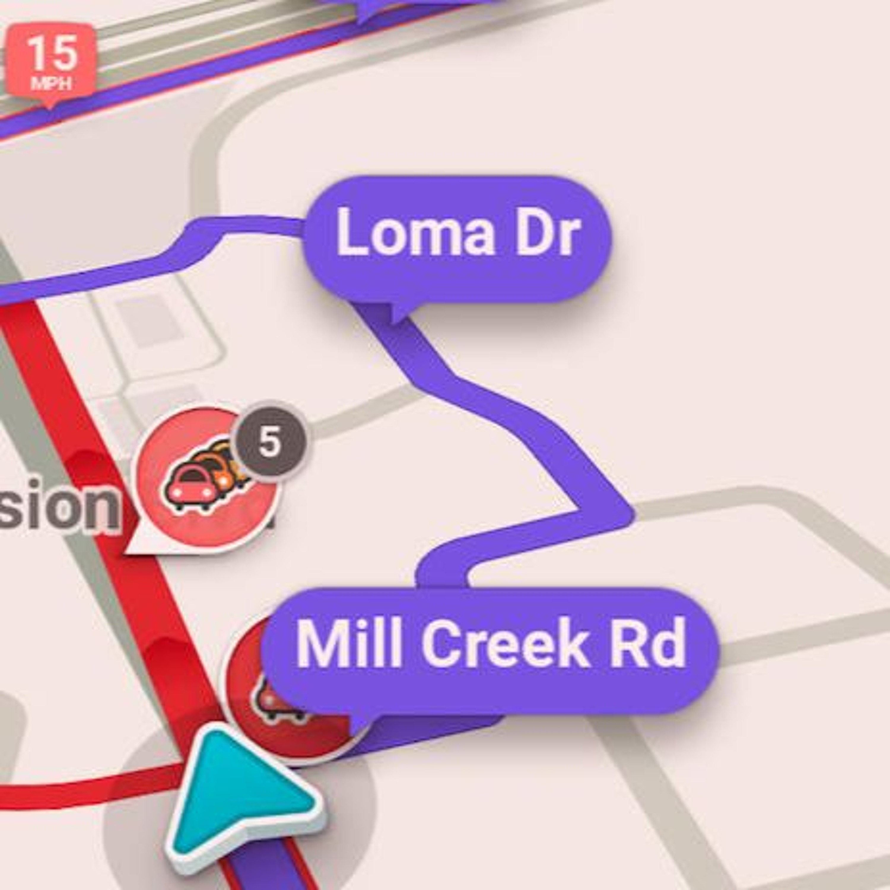
Navigation apps like Google Maps, Waze, and Apple Maps determine the speed of traffic using location data from people's phones. Then they send drivers on the fastest available route. If traffic is bad on the highway, they'll often send drivers onto local roads.
This is getting to be a problem in Fremont.
Fremont sits at the intersection of several highways that connect Silicon Valley with East Bay cities and the suburbs of the Tri-Valley area. As the region grows, those highways have had to accommodate more commuters. In recent years, Fremont's local roads have piled up with drivers too.
Unsurprisingly, residents are upset about the increased traffic on their streets. I spoke to one elderly woman who says it’s gotten so bad that she tries not to leave the house after 2 p.m.
But there’s a more subtle consequence of our growing reliance on navigation apps.
Worse traffic overall
According to Alex Bayen, director of the Institute of Transportation Studies at UC Berkeley, navigation apps might make for slower traffic overall.
“Routing people in the way that is best for them,” Bayen says, “doesn't mean that traffic overall is moving more efficiently.”
This is the opposite of the message that the companies building these apps want to send. A spokesperson for the navigation app Waze said in an email that the “application is designed to spread cars out across the grid and alleviate traffic.”
Bayen says that apps can have that effect – initially. But as increasing numbers of drivers rely on their phones for directions, “you see massive amounts of people who are changing their routing patterns.”
And when throngs of drivers use the same apps, traffic can build up in ways that the roadway system wasn’t built to accommodate.
For example, as Itua approaches an entrance to the freeway, she sees a procession of cars coming off a side street. We found earlier that the app Waze was sending drivers that way.
Those cars trigger a traffic light, causing Itua to wait longer on Mission Boulevard. They go ... then we go. They go ... then we go.
“There’s more stop-start-stop-start,” Itua says.
Taking Waze’s route might be smart for individual drivers, but it gums up the traffic system for people on the main road. It’s not so great for the Waze drivers either, who are lined up at same light.
Bayen says this illustrates the principles of John Nash, the Nobel Prize-winning mathematician made famous by the movie A Beautiful Mind.
Nash demonstrated “that what's best for you might not be best for society,” says Bayen. “And that's essentially what's happening with these apps.”
As more and more drivers use apps, says Bayen, the problems are “definitely going to get worse.”
Using map data to fight back
Noe Veloso, the Principal Transportation Engineer for the city of Fremont, pulls up Google Maps on a computer.
“We've been able to use these apps ourselves to determine exactly what they're doing,” says Veloso.