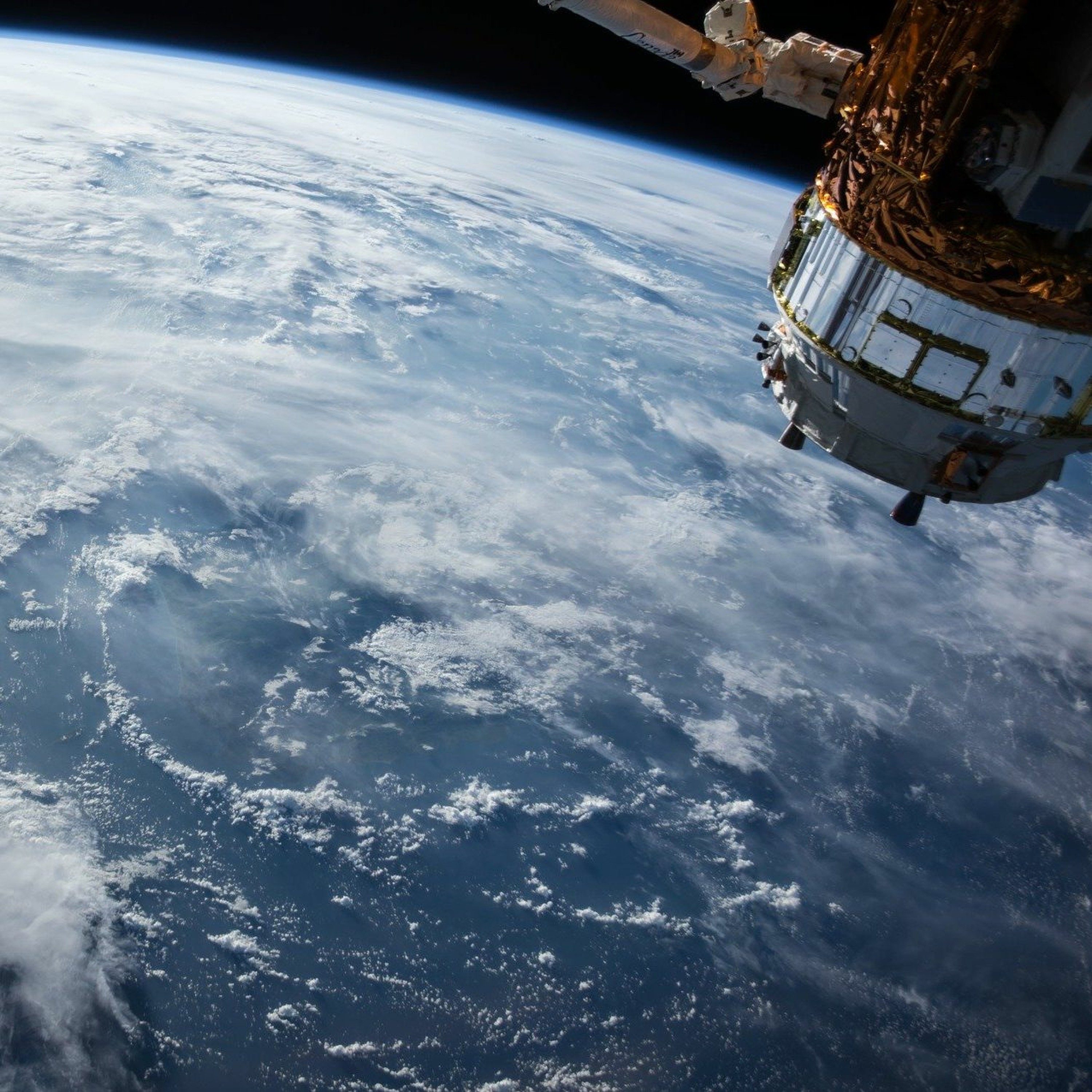
For this installment, I asked a previous guest at the University of Leicester to come back on and talk more about the programming tools he uses, and ways he uses them for his analysis of satellite data to track climate change.
There are parts of this episode that get a bit technical, even with that fair warning, I encourage the less technical of my listeners out there to give it a go. Because through this step by step walkthrough of how Dr. Balzter does his work, you’ll get a front-row seat to some really amazing things that are being done to better understand climate change’s effects, and what steps are being taken to combat it.
And, well, if this technical portion proves to be maddening, skip past a bit because Dr. Balzter, Director of the Centre for Landscape and Climate Research at the University of Leicester, brings me out of the technical forest and ends the chat talking about some of the most beautiful areas to view from the heavens above.
He even goes into where he enjoys watching the weather, with some great stories along the way.
(0:00) - Introduction: Python and its Applications
(4:32) - Walks and snow
(8:12) - Effects of climate change on agriculture
(15:13) - Future plans and developments
(20:49) - Learning Python with Google Colab
(29:02) - Benefits of using Linux for programming
(31:36) - Introduction to satellite data analysis in Python
(34:42) - Why Python is chosen for satellite data analysis
(42:21) - Image processing and its applications in satellite data analysis
(54:44) - Accessing satellite data for analysis
(1:05:03) - Working with Rasta and Geopandas
(1:10:41) - Python Modules, Scikit-learn and Machine Learning
(1:18:16) - Favorite Parts of the Earth