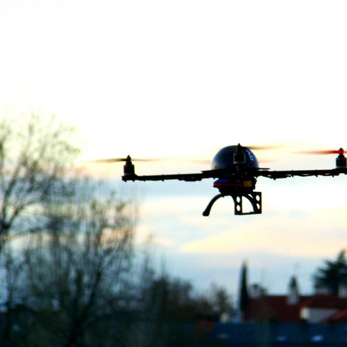
Due ricerche olandesi: montando gli spettrometri leggeri sui droni è possibile mappare il terreno esplorando aree altrimenti inaccessibili. L’applicazione può fornire dati cruciali per la tutela e la bonifica dei suoli
Want to check another podcast?
Enter the RSS feed of a podcast, and see all of their public statistics.