Shows
 Satellite image deep learningMajor TOM: Expandable EO DatasetsIn this episode, Robin catches up up with Alistair Francis and Mikolaj Czerkawski to learn about Major TOM, which is a significant new public dataset of Sentinel 2 imagery. Noteworthy for its immense size at 45 TB, Major TOM also introduces a set of standards for dataset filtering and integration with other datasets. Their aim in releasing this dataset is to foster a community-centred ecosystem of datasets, open to bias evaluation and adaptable to new domains and sensors. The potential of Major TOM to spur innovation in our field is truly exciting. Note you can also view the video of this...2024-03-0726 min
 Satellite image deep learningDeep learning for 3D understanding of satellite imagesA large fraction of acquired satellite images contain 2D projections of Earth. However, for many downstream applications, 3D understanding is beneficial or necessary. In recent years, deep learning has enabled a number of solutions for learning 3D representations from 2D satellite images. This episode delivers an overview of some of the prominent works in this area. Mikolaj hosts 3 guests: Dawa Derksen, Roger Marí, and Yujiao Shi, providing a summary of each guest’s contributions on the topic as well as a panel discussion. Note you can also view the video of this recording on YouTube hereD...2023-09-261h 41
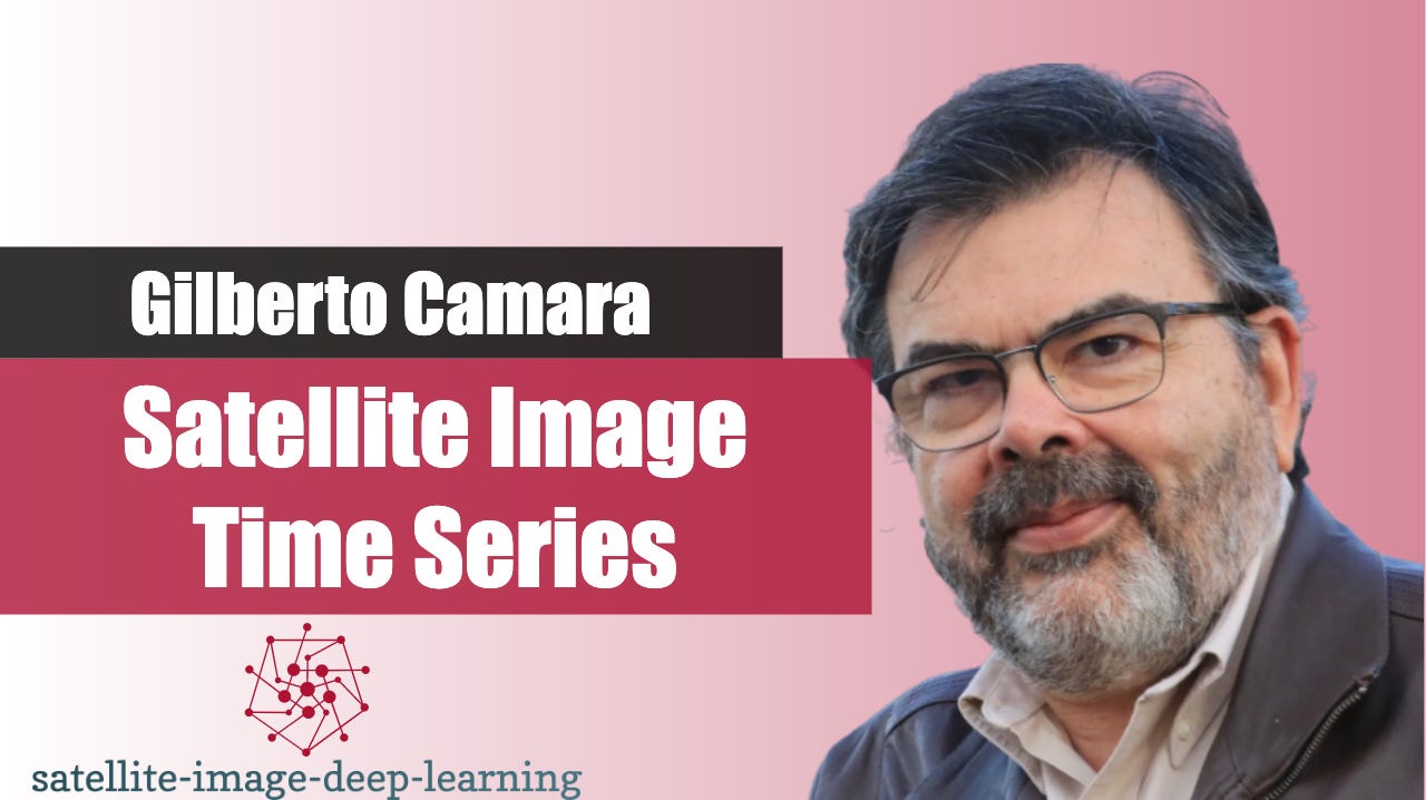
 Satellite image deep learningSatellite image time series with Gilberto CamaraIn this episode, Robin catches up with Gilberto Camara to talk about SITS. SITS is an open-source R package for land use and land cover classification of big Earth observation data using satellite image time series. Gilberto is a Senior Researcher in GIScience, Geoinformatics, Spatial Data Science and Land Use Change at Brazil’s National Institute for Space Research.* https://github.com/e-sensing/sits * https://gilbertocamara.org/* Video on YouTubeBio: Prof. Dr. Gilberto Câmara is a Brazilian researcher in Geoinformatics, GIScience, Spatial Analysis, and Land Use Modelling, who works at...2023-02-2729 min
 Satellite image deep learningCareer chat with Philip RobinsonIn this podcast, Robin catches up with Philip Robinson to discuss his career path, and hear how he transitioned from working in computer security research, to working on environmental and satellite imaging challenges at the Global Fishing Watch. - https://www.linkedin.com/in/philip-robinson-2878642a/- https://globalfishingwatch.org/ Bio: Philip Robinson is a Scientific Programmer at Global Fishing Watch. Global Fishing Watch works to increase transparency of human activity at sea, by enabling scientific research in how we manage our ocean. Philip transitioned his career from computer security research to environmental...2023-01-2612 min